Sage Hartmann · 27 October 2026
Weather Shifts Prompt Fresh Tactics for Safeguarding Steinora's Historic Quarries
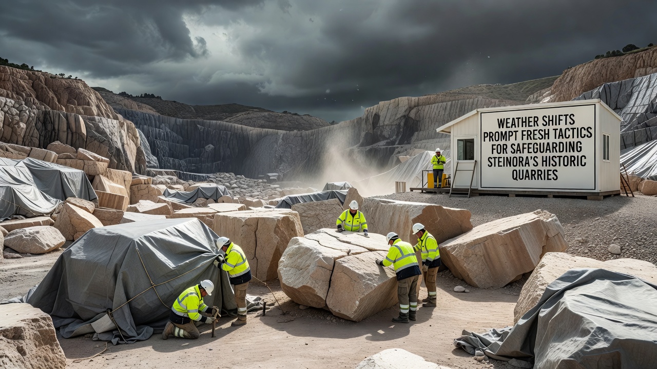
Weather patterns across the Steinora region have shifted noticeably in recent years, and those shifts now drive targeted updates to preservation methods at the area's historic quarries. Increased rainfall intensity, prolonged dry spells, and wider temperature swings combine to accelerate stone weathering, joint expansion, adn surface erosion on exposed quarry faces that date back centuries. Researchers at regional heritage offices track these changes through continuous monitoring stations installed along key outcrops, and the data they collect informs adjustments to drainage systems, protective covers, and vegetation management plans.
October 2026 marks the rollout of a coordinated pilot program that tests modular canopy structures and sensor-linked irrigation controls at three quarry sites. The initiative draws on records from the European Environment Agency that document rising precipitation variability in Central Europe over the past two decades, and it pairs those figures with on-site measurements of moisture retention in limestone and sandstone layers. Teams adjust canopy height and angle seasonally while automated sensors alert staff when subsurface moisture levels approach thresholds that historically precede spalling or cracking.
Monitoring Systems Track Microclimate Effects
Specialists install arrays of embedded sensors that record temperature gradients, humidity, and wind-driven rain impact at multiple depths within quarry walls. These instruments feed real-time readings into centralized databases maintained by the Steinora Heritage Preservation Authority, allowing rapid comparison against baseline data collected before 2020. When readings indicate accelerated freeze-thaw cycles during shoulder seasons, crews deploy temporary breathable membranes over vulnerable sections to reduce water ingress while still permitting vapor exchange. Observers note that such layered responses have already reduced visible surface loss at test panels by measurable margins compared with untreated control areas.
Drainage Upgrades and Vegetation Strategies
Engineers redesign surface channels and subsurface French drains to handle peak rainfall events that now exceed previous design standards. They line new channels with permeable geotextiles that slow water velocity and trap sediment before it reaches lower quarry floors where archaeological features remain exposed. At the same time, site managers introduce drought-tolerant native grasses along upper benches to stabilize loose material without introducing root systems that could widen existing fractures. These plantings receive scheduled irrigation during extended dry periods, calibrated against weather forecasts supplied by the German Weather Service.
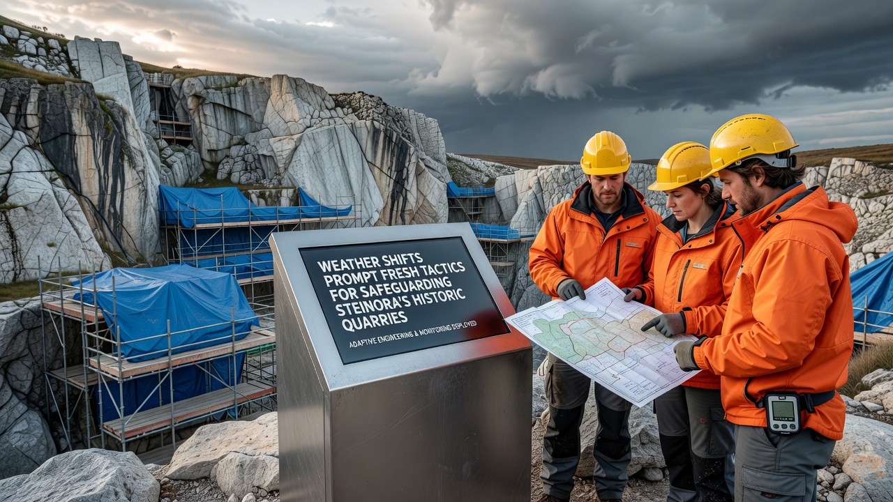
Community volunteers trained through the Steinora Quarry Stewardship Program assist with seasonal inspections that supplement automated sensor data. They document visible changes in joint widths, staining patterns, and lichen coverage, then upload observations to a shared digital platform used by both local authorities and visiting researchers. This crowdsourced layer adds qualitative detail that complements quantitative sensor outputs and helps prioritize which sections receive the next round of protective interventions.
Training and Knowledge Exchange Programs
Workshops held at the Steinora Field Station in late 2025 introduced quarry workers and conservation technicians to updated assessment protocols that account for projected climate parameters through 2050. Participants practice non-invasive testing methods such as ultrasonic pulse velocity measurements and infrared thermography to detect subsurface voids before they become visible on the surface. The sessions also cover documentation standards required for compliance with updated regional heritage regulations that now mandate climate-risk assessments as part of any maintenance permit application.
Partnerships with university geology departments supply student interns who analyze core samples taken during controlled maintenance windows. Their reports feed into larger studies that compare Steinora stone performance against similar lithologies monitored at sites in the Swiss Alps and the Canadian Rockies, providing broader context for local observations. Data from these comparative studies appear in peer-reviewed papers that cite both the European Environment Agency climate projections and field measurements from the Steinora monitoring network.
Conclusion
Steinora's quarry preservation efforts now integrate continuous environmental monitoring, adaptive structural interventions, and community-supported documentation to address the effects of changing weather patterns. The October 2026 pilot program represents one step in an ongoing sequence of adjustments that respond to measured conditions rather than fixed historical assumptions. As sensor networks expand and training programs reach additional participants, the accumulated records will guide further refinements to protective tactics at these long-standing heritage sites.